Wansdyke home I What's New I Sitemap I Bibliography I Vortigern Studies l POLLS I LINKS l Sitemaster I FAQs
search l about Vortigern
Studies l Messageboard I Games I Arthurian
Collection I View Guestbook I Sign Guestbook
| Vortigern Studies > Wansdyke > Maps > Section 2 |
Vortigern Studies Index
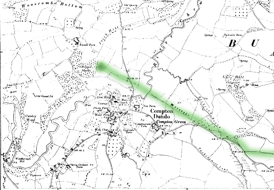
.Wansdyke Project 21 |
|
VortigernStudies and
Wansdyke Project 21 are copyright © Robert Vermaat 1999-2002. |