Vortigern
Studies Index


.Wansdyke Project 21
is part of
Vortigern Studies

|
|
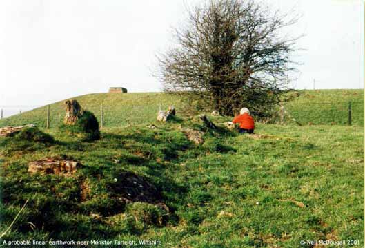
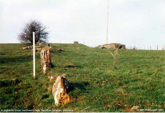
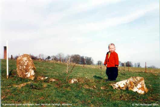
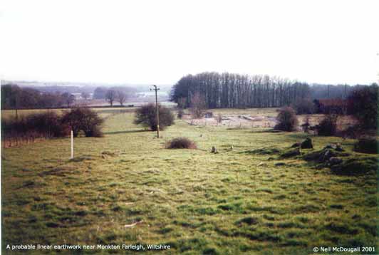
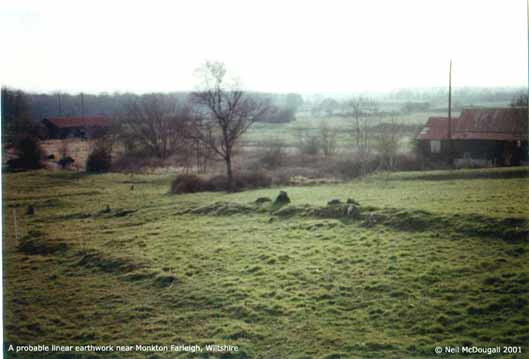
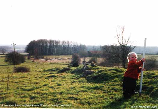
Probable
linear earthwork near Monkton Farleigh, Wiltshire

This image
looks uphill, with the above ground remains of
pre-WW2 fortifications visible on top of the
hill. (click here to
enlarge).
|
|

Taken
from another angle. (click here to
enlarge)
|
|

These
are twin linear earthworks which contain stone
alignments, they may be elements of a track, a
linear boundary or a cross dyke. (click here to
enlarge)
|

The feature
from above, with pre-war defenses on top of the
hill. (click here to
enlarge).
|
|

From another
angle. (click here to
enlarge).
|
|

These
are massive deep-set stones which appear to form
the outer sections of a wall. (click here to
enlarge)
|
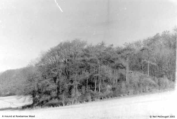
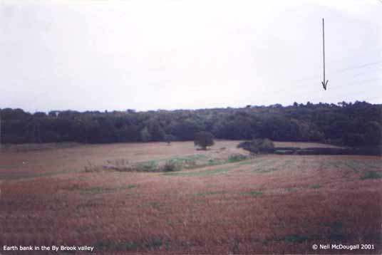
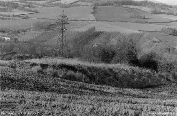
Enigmatic earth banks south of
Bathford and in the By Brook Valley

A mound of
uncertain appearance, but most likely man-made,
on the hillside south of Bathford. (click here to
enlarge).
|
|

An enigmatic
earth bank in the By Brook Valley (click here to
enlarge).
|
|

An
enigmatic earth bank in the By Brook Valley. (click
here to
enlarge)
|
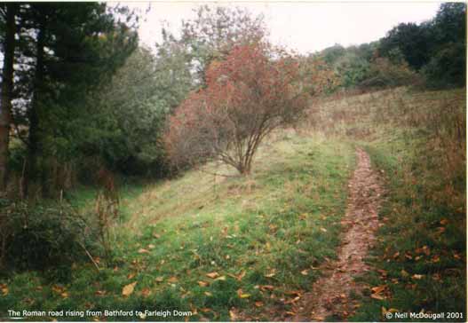
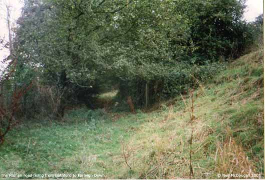
A ditch and bank seem to block the
northeast approach to Farleigh Down.

The Roman road
rising from Bathford to Farleigh Down. (click
here to
enlarge).
|
|

Running from
the escarpment from NE to SW for about three
hundred metres, this feature may be even longer
yet ploughed down. (click here to
enlarge).
|
Copyright
© 2001, Neil McDougall. All rights reserved. Used with
permission.
Comments to: Neil McDougall.
|