Vortigern
Studies Index


.Wansdyke Project 21
is part of
Vortigern Studies

|
|
| |

click here
|
|
Mike Hansford - Maes Knoll (Click each image to
enlarge it).
|
|
 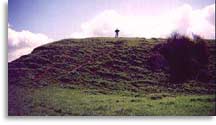 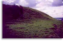 
These pictures were
taken in 1996 during a visit to Maes Knoll
and East Wansdyke. Click each image to enlarge.

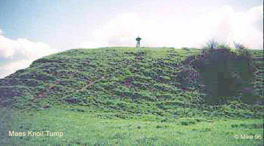
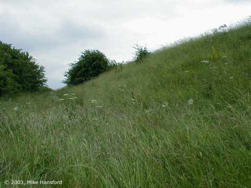
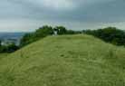
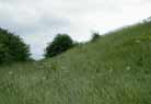
The Tump, the large
Iron Age bank which closes off Maes Knoll to the west.
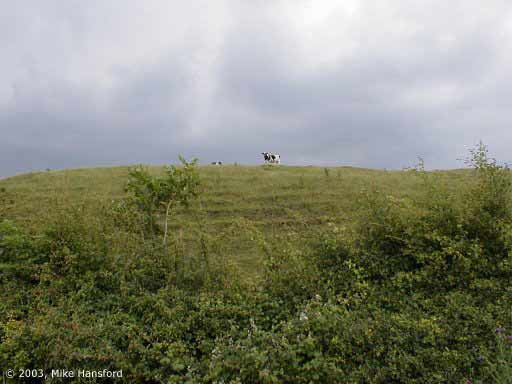
Pictures shot during visits in the summer of 2003. Click here to enlarge.
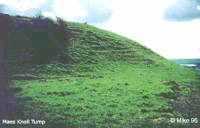
In the pictures below, you can get a good picture of the
enormity of this earthen bank.

Tump looking
north. (click here to
enlarge).
|
|
Tump
looking east. (click here to
enlarge).
|
|

Same
spot, looking south. (click here to
enlarge).
|
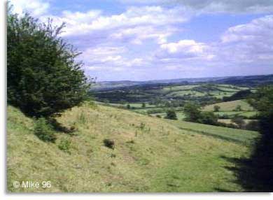
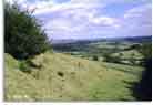
Looking across
the Tump to Bristol. (click here to
enlarge).
|
|
Big sky
at Maes Knoll.. (click here to
enlarge).
|
|
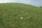
Less
pleasant - litter. Too close to the big city... (click
here to
enlarge).
|

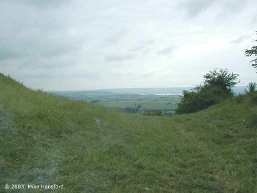
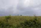
Tump looking SW
to the Chew Valley lakes. (click here to
enlarge).
|
|
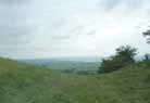
Another shot of
the lakes in the distance. (click here to
enlarge).
|

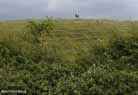
Maes Knoll
defeces, the NE cicuit. (click here to
enlarge).
|
|
In the
ditch, looking south. (click here to
enlarge).
|
|

Close to
the spot where Wansdyke actually starts. (click
here to
enlarge).
|
Copyright
© 2003, Mike Hansford. All rights reserved. Used with
permission.
Comments to: Mike Hansford.
|