Wansdyke home I What's New I Sitemap I Bibliography I Vortigern Studies l POLLS I LINKS l Sitemaster I FAQs
search l about Vortigern
Studies l Messageboard I Games I Arthurian
Collection I View Guestbook I Sign Guestbook
| Vortigern Studies > Wansdyke > Album > Mike > Wansdyke west of Dundry? |
Vortigern Studies Index
.Wansdyke Project 21 |
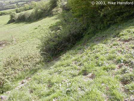
The images below were shot during a visit to what could be an extension of West Wansdyke to the West of Maes Knoll, roughly between Yanley on the A370 and Dundry. April and May 2003.
Copyright © 2003, Mike Hansford. All rights reserved. Used with permission. Comments to: Mike Hansford. |
VortigernStudies and
Wansdyke Project 21 are copyright © Robert Vermaat 1999-2003. |